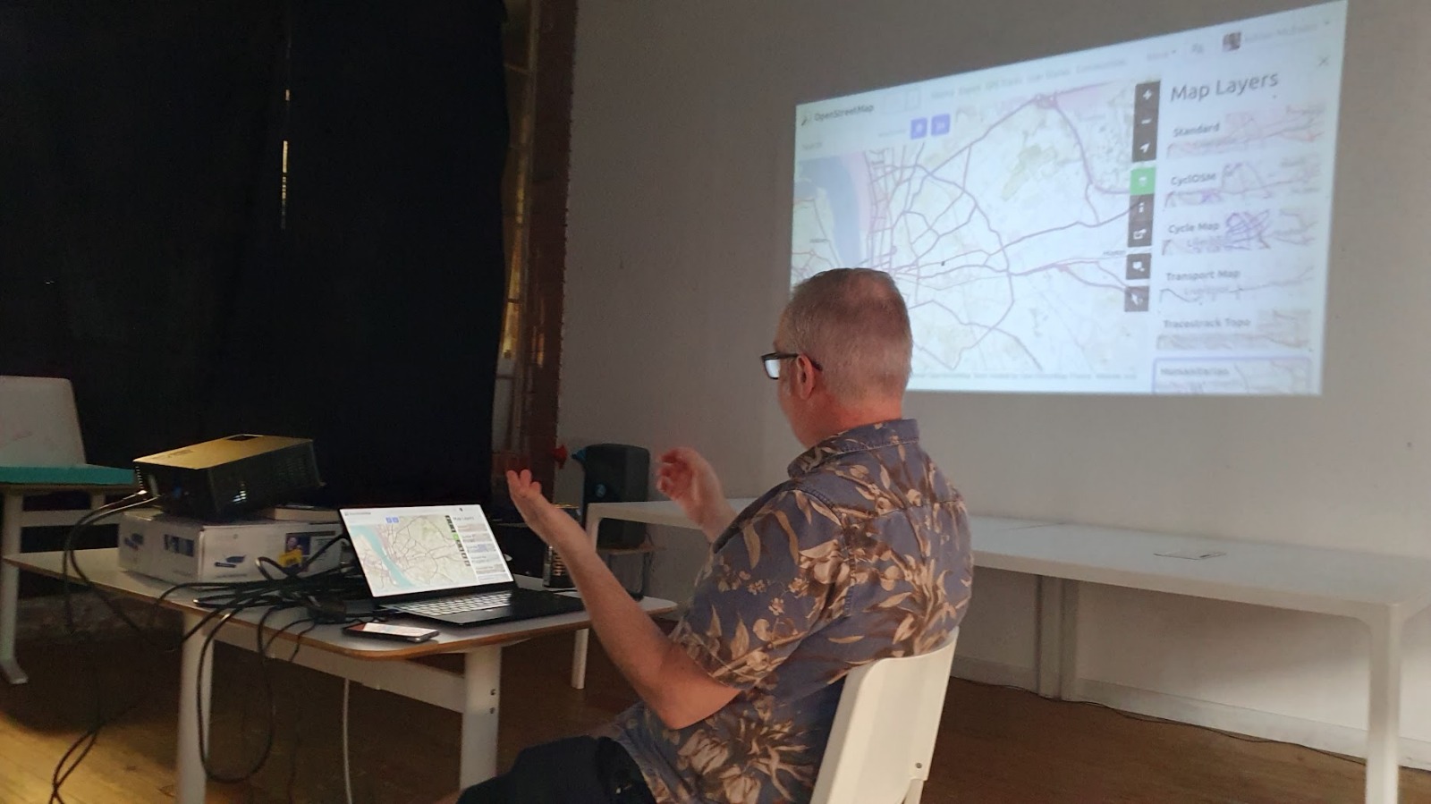
For the inaugural DoES Salon Adrian gave a talk about OpenStreetMap; looking at the different ways the data it contains can be interpreted, how you can get data out to use it yourself, and ways that you can contribute to the mapping.
The talk was live-streamed, so you can watch that recording on the DoES Liverpool YouTube channel. (The streaming capture wasn’t great, sadly: the audio is very quiet and seems to have lost the right and bottom edges of the screen. Most of the useful content was captured though. Something to improve for the next salon)
Rather than write a set of slides, he pulled up a series of websites and walked through them.
For anyone what wants to explore them more, here’s a list of the ones we visited:
- The main OpenStreetMap website.
- openseamap.org - a sea-focused view of OpenStreetMap data
- openinframap.org - power lines, communications infrastructure, etc.
- MyOSMatic - export areas of the map to a PDF so you can print it out
- Adrian used a different bit of software to make his poster of bike routes, which he talks through in that linked piece.
- Kinderkiez.net - get an area of the map made into a custom kids playmat!
- OsmAnd - Android and iPhone apps for OpenStreetMap
- Comaps - another Android app for OpenStreetMap
- umap - make your own custom maps on top of OSM data (a more powerful version of Google My Maps). Adrian’s maps
- Overpass Turbo for querying the OpenStreetMap data
- mapcomplete.org - a website that will ask you questions about things on an area of the map, to help fill in gaps in the data
- EveryDoor - a phone app making it easier to add things to the map while you’re out and about
- StreetComplete - an Android app that asks you questions about where you are, to fill in gaps in the map
- OpenStreetMap wiki - the wiki for OpenStreetMap, with lots of pointers to bits of software, details of how things get tagged, and much more
- OpenTripPlanner is the tool used to make the isochrones on the 15-minute city map